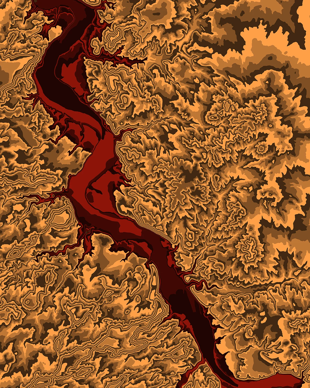
The Answer is San Juan River right north of 4 corners going into Utah. The state border between colorado and utah are actually contained in this map, with the Four Corners Monument being just off the map to the south. The river here is very slow, wide and sandy, and full of tamarisk, not really worth rafting on. Thanks to everyone for participating!
Hint #3: The river in the image is a tributary of the Colorado, but remember, you have to name what stretch of river this is or a feature in the map for it to count, no randomly naming rivers
Hint #2: The river in the image is on the Pacific side of the Continental Divide
Hint #1: This map is west of the Mississippi
Alright, so that last one was apparently too easy for you internet people, so this one is a little bit more difficult. Also I have posted some rules to clarify things
OK, Here is #2